Cursos populares 'LAND NAVIGATION' en [*INSTITUCIÓN*]
LAND NAVIGATION Guías de estudio, Notas de estudios & Resúmenes
¿Buscas las mejores guías de estudio, notas de estudio y resúmenes para LAND NAVIGATION? En esta página encontrarás 4 documentos de estudio para LAND NAVIGATION.
All 4 resultados
Ordenador por

-
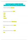
Land Navigation (ARMY BOARD) Questions and Answers Already Passed
- Examen • 6 páginas • 2024
-
- 8,60 €
- + aprende más y mejor
Land Navigation (ARMY BOARD) Questions and Answers Already Passed TC that covers Land Navigaiton TC 3-25.26 What are the five major terrain features? 1. Hill 2. Valley 3. Ridge 4. Saddle 5. Depression What is the first step to navigation? Orienting the map What are the supplementary terrain features? 1. Cut 2. Fill What are the three minor terrain features? 1. Draw 2. Cliff 3. Spur What are contour lines and what do they represent? A contour line represents an imagi...

-
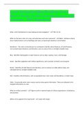
Land Navigation/Map Reading (Army Board Study Guide) Questions pool with answers. 100% Approved.
- Examen • 9 páginas • 2023
-
- 8,12 €
- + aprende más y mejor
Land Navigation/Map Reading (Army Board Study Guide) Questions pool with answers. 100% Approved. What is the Field Manual for map reading and land navigation? - -FM 3-25.26 What are the basic colors of a map, and what does each color represent? - -Black - Indicates cultural (man-made) features such as buildings and roads, surveyed spot elevations, and all labels. Red-Brown - The colors red and brown are combined to identify cultural features, all relief features, non-surveyed spot e...

-
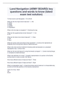
Land Navigation (ARMY BOARD) key questions and words to know (latest exam test solution)
- Examen • 3 páginas • 2023
-
- 8,12 €
- + aprende más y mejor
Land Navigation (ARMY BOARD) key questions and words to know (latest exam test solution) TC that covers Land Navigaiton What are the five major terrain features? - What is the first step to navigation? What are the supplementary terrain features? What are the three minor terrain features? What are contour lines and what do they represent? - What is the most common method of showing relief and elevation on a standard topographic map - What are the two techniques for...

-
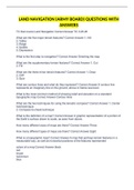
LAND NAVIGATION (ARMY BOARD) QUESTIONS WITH ANSWERS
- Examen • 3 páginas • 2022
-
- 4,29 €
- + aprende más y mejor
TC that covers Land Navigation Correct Answer TC 3-25.26 What are the five major terrain features? Correct Answer 1. Hill 2. Valley 3. Ridge 4. Saddle 5. Depression What is the first step to navigation? Correct Answer Orienting the map What are the supplementary terrain features? Correct Answer 1. Cut 2. Fill What are the three minor terrain features? Correct Answer 1. Draw 2. Cliff 3. Spur What are contour lines and what do they represent? Correct Answer A contour line rep...

¿Cómo lo hizo? Vendiendo sus recursos de estudio en Stuvia. Pruébalo tu mismo. Descubre todo sobre cómo ganar en Stuvia


